


Demos
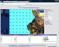
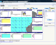
Hawai'i Test Site
Click on images to run demos.
|
Broad view of bathymetry, currents and other oceanographic data in the area of the site |
|
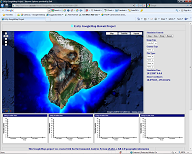 Google Maps View |
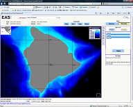 AquaModel NetViewer View |
|
Environmental Impact of a Single Farm in Hawai'i |
|
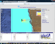 Google Maps View |
 AquaModel NetViewer View |
|
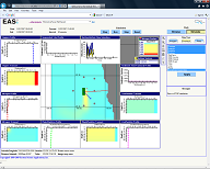
Environmental Impact of Multiple Farms in Hawai'i |
|
 Google Maps View |
 AquaModel NetViewer View |