


Coastal Flow Models
AquaModel now interfaces with four types of modeled 3-dimensional ocean curent data: ROMS, ECCO2, ADCIRC, and the University of Hawai'i Coastal Circulation Model. This modeled data provides the detail necessary to evaluate the effects of convergent and divergent current flows as well as eddy circulation. It addresses the problem of matching differences in temporal and spatial resolution between the circulation model output and that used by AquaModel to simulate the processes of waste production, waste transport, and the biological transformations of the waste.
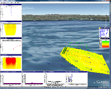
For this study, we used 3-dimensional tidal currents from the University of Hawai'i combined with local current meter measurement data. The characteristics of the four ocean current models are as follows:
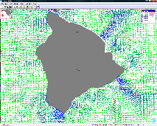 University of Hawai'i Ocean Circulation Model University of Hawai'i Ocean Circulation Model
|
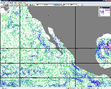
 NASA Jet Propulsion Laboratory ROMS Model NASA Jet Propulsion Laboratory ROMS Model
|
 NASA JPL ECCO2 Model NASA JPL ECCO2 Model
|
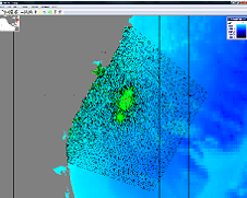 ADCIRC Model ADCIRC Model
|